 Lake
Lake
- Accuracy: 0 km
- Elevation above sea level: ≈ 1,257 m
- Point embed code
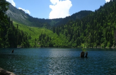
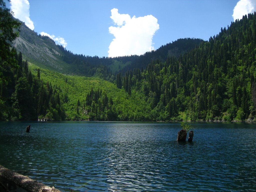
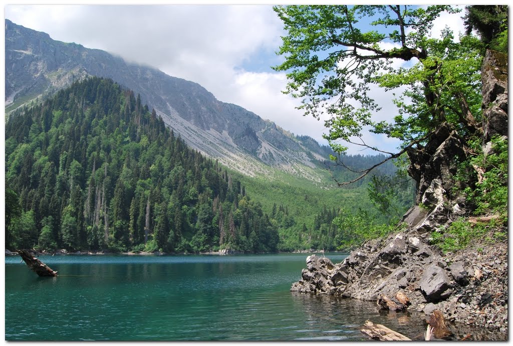
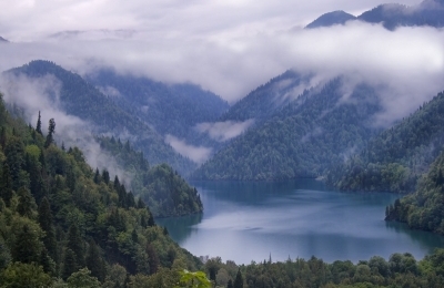
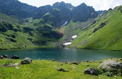
Patara Ritsa is a lake on the eastern slope of the Gagra range, 1,235 m above sea level. Surface area 0.1 km², volume 3.25 million m³, maximum depth 76 m, catchment area 2.95 km². The basin was formed by the collapse of the eastern slope of Mount Pshegishkha. It is fed by snow, rain and groundwater, and drains away underground. Its level is highest in May and lowest in March. In summer the surface water temperature is 18–20°C; it freezes over briefly. The lake's water is deep blue. Trout live in the lake.
Gallery
Let's talk!
Have a place to add, a correction to suggest, or just want to say hello? Get in touch — we read every message.