 Lake
Lake
- Accuracy: 0 km
- Elevation above sea level: ≈ 475 m
- Point embed code
The Lopota is a river in the Kvareli and Telavi municipalities, a left tributary of the Alazani. It rises on the southern slope of the Kakheti Caucasus at 2,560 m. Length 33 km, basin area 263 km². It is fed by snow, rain and groundwater, with high water in spring and low water in winter and summer. Its floods are sometimes debris flows. Average annual discharge 6.58 m³/s. The Lopota's water is used for irrigation.
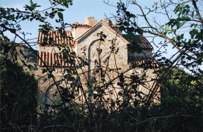
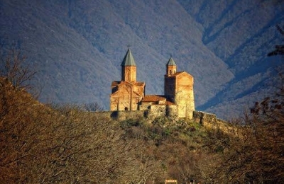
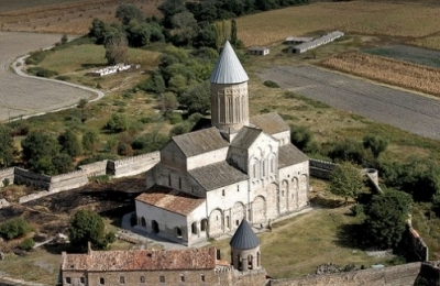
Gallery

Let's talk!
Have a place to add, a correction to suggest, or just want to say hello? Get in touch — we read every message.