 Lake
Lake
- Accuracy: 0 km
- Elevation above sea level: ≈ 3,080 m
- Point embed code
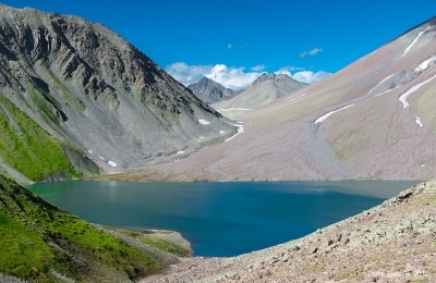
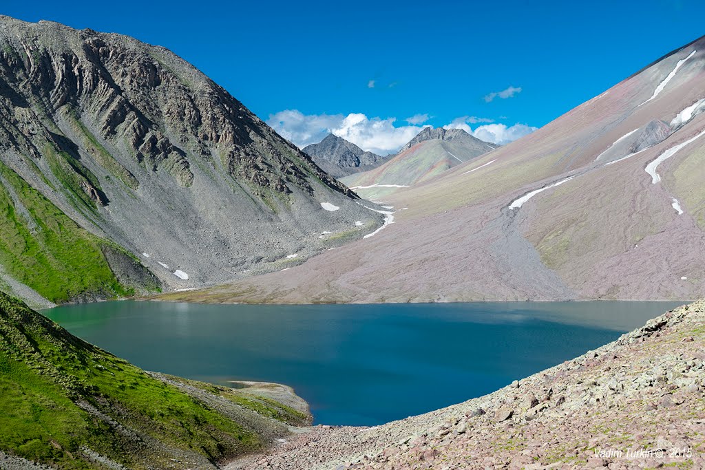
Archvebi Lake is a lake in Kazbegi municipality, on the Keli volcanic plateau, 3,078 m above sea level. Surface area 0.13 km², greatest depth 5.5 m, basin area 4.9 km². It was formed when a glacial cirque was dammed by lava flows. Fed by snow and rain, its level is highest in June and lowest in winter. It drains to the northwest underground through carbonate rocks. It stays frozen for long periods. It holds no fish.
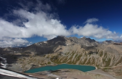
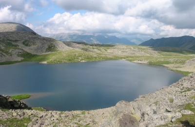
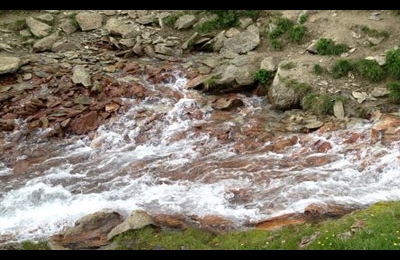
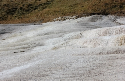
Gallery
Let's talk!
Have a place to add, a correction to suggest, or just want to say hello? Get in touch — we read every message.