 City
City
- Accuracy: 0 km
- Elevation above sea level: ≈ 1,705 m
- Point embed code
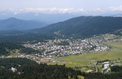
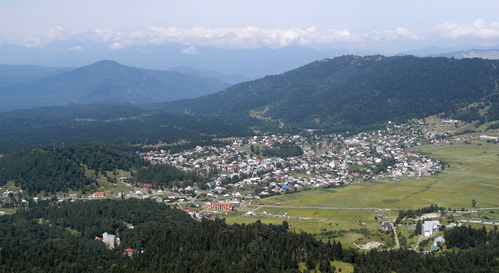
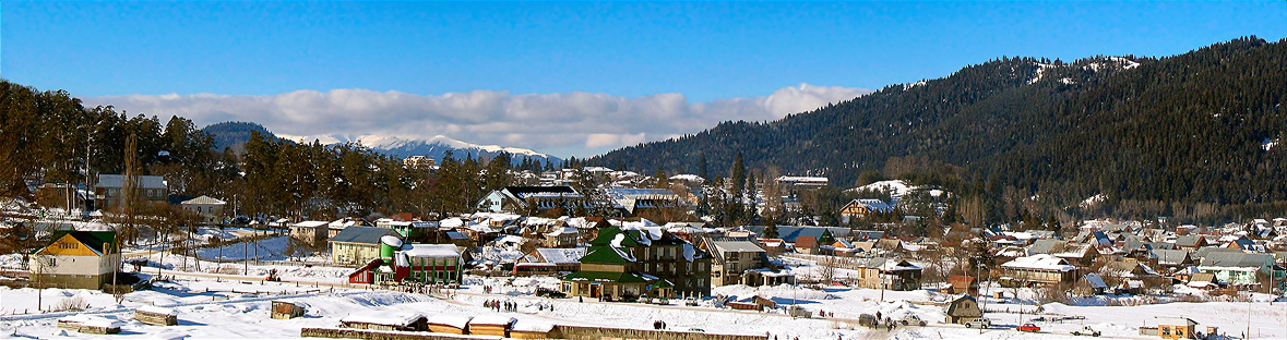
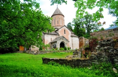
Bakuriani is a townlet in Borjomi municipality, the center of its community (villages: Didi Mitarbi, Patara Mitarbi, Patara Tsemi, Sakochavi). It received townlet status in 1926 and is the terminus of the Borjomi–Bakuriani railway line. Remains of megalithic culture have been found at Bakuriani, and a religious building of the early feudal era, the "Pantnari church", survives. Bakuriani lies on the northern slope of the Trialeti range, on the Bakurianistskali River (a tributary of the Gujaretistskali), 1,700 m above sea level, 30 km from Borjomi. Bakuriani spreads over the floor of the so-called Bakuriani basin, built of lava erupted from the Mukheri volcano. The climate is transitional from humid maritime to moderately humid continental: winter is cold and snowy, summer long. The mean annual temperature is 4.3°C, January's 7.2°C below, August's 15°C. Precipitation is 734 mm a year. Snow cover (64 cm deep) lasts from early December to the end of March. The surroundings of Bakuriani are clothed in coniferous forest. On adjacent land the Bakuriani botanical garden is laid out
Gallery
Let's talk!
Have a place to add, a correction to suggest, or just want to say hello? Get in touch — we read every message.